Have you ever planned out and started a project, only to find out months down the line, a new technology is coming out that will make what you’re trying to do easier? Have you ever gotten a project through planning and implementation, only to find that users are interacting with it differently than you expected, […]
Category: MapThis
Clean My Org – Make Searching Within your ArcGIS Organization Simple and Stress-Free
X, C, V. These three little keys on your keyboard usually make our lives easier when combined with the Control key to cut, copy and paste, respectively. However, there can be times when it can result in confusion, and possible chaos. Take for example the following scenario, and how it can be remedied with simple […]
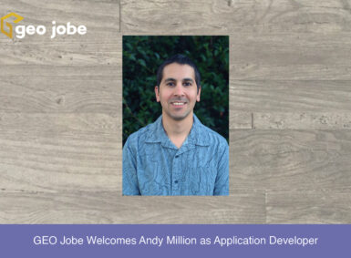
GEO Jobe Welcomes Andy Million as Application Developer
GEO Jobe is pleased to welcome Andy Million as an Application Developer. Previous to GEO Jobe, Andy was a full stack software developer with expansive knowledge in web applications. Andy has a degree in Geography and is passionate about all things GIS, Cartography and Remote Sensing. In addition to Andy’s software development skills, he has […]

HTTP – Countdown to Breakdown
Esri recently announced that they will be strictly enforcing HTTPS on ArcGIS Online starting December 2020. If you are wondering, what does this mean and what to do next, don’t worry. Esri has put out full documentation describing what’s affected and how to remedy it. In addition, Esri Canada has also put out a great, […]
GeoAI and You: The Future of GIS, Today
As a geospatial professional in 2020, it’s nearly impossible to avoid being exposed to the ideas of AI, machine learning, and deep learning. Projects utilizing these technologies have been at the forefront of articles, panels, and presentations — often displayed proudly on stage during conferences and other events (virtual or otherwise). What is interesting to […]

Digital Storytelling With StoryMaps
Stories are powerful; they can advocate for change, influence opinion, and create awareness. ArcGIS StoryMaps are web-based applications that allow you to tell your story by integrating maps, data, pictures, videos, and other media in one place. StoryMaps are my favorite ArcGIS product due to their versatility and ability to augment storytelling through the addition […]
Sharing (GIS Data) is Caring
Sharing data can be a touchy subject. In general, it seems that people and institutions do not like their research and findings being freely accessible to the public. If you have worked on any project requiring data you could not collect on your own, you have more than likely jumped onto the World Wide Web […]
New Technology From Esri at the First Ever, Virtual International Esri UC
The annual International Esri User Conference (Esri UC) took place virtually July 13-16, 2020. To say that there was a LOT of new technology and capabilities announced at the 2020 Esri UC is likely an understatement!
Q&A with Danny Menikheim
Here is a short Q & A with Director of Operations, Danny Menikheim. Danny is based out of our Center for Research and Engineering (C.R.E.) in Gulfport, MS. Danny joined our team as a Project Manager in October of 2017 and today holds the role of Director of Operations.
Campus Viewer: A Case Study on Custom Development
The Challenge UMass Lowell (UML) was looking for a campus viewer application that didn’t rely on Flash based software, as it would no longer be supported after 2019. The solution needed to support the large amount of data they wanted to share, offer some options for custom searching and module development, and be supported on […]