
In honor of GEO Jobe’s 25 years in business, our CEO sat down with some key members of our team to talk about the company’s past, present, and future. In this video, GEO Jobe’s Chief Technology Officer Eric Goforth joins CEO David Hansen for a conversation on the exciting evolution of geospatial technology, including GEO […]
Category: MapThis

25 Years of GEO Jobe: MapThis!
Did you know “MapThis!” is more than a blog for geo nerds? In honor of our 25 years in business, we sat down with some key members of our team to talk about the company’s past, present, and future. In this video, GEO Jobe’s Chief Operating Officer Danny Menikheim joins CEO David Hansen to discuss […]

5 Tips to Take Your ArcGIS Dashboards to the Next Level
Photo Source: Riccardo (Pexels) ArcGIS Dashboards puts the power of location intelligence at your fingertips, but mastering its full potential takes more than just dragging and dropping widgets—these expert tips will help you level up your dashboards and deliver insights that truly stand out. What is ArcGIS Dashboards & How Does it Work? ArcGIS Dashboards […]
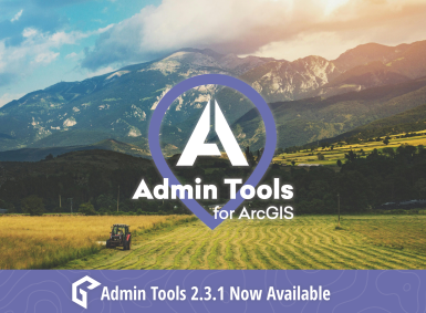
Admin Tools for ArcGIS 2.3.1 Out Now
The latest release of Admin Tools, version 2.3.1, delivers a suite of powerful new tools, enhancements, and critical fixes designed to further streamline administrative tasks for both ArcGIS Online and ArcGIS Enterprise users. Known for simplifying workflows around items, users, and groups, Admin Tools continues to evolve, boosting performance, improving cache efficiency, and ensuring reliable […]

Unleashing the Power of Rust in GIS Development
What is GIS? If you stumbled upon this article, you’re most likely already familiar with the term GIS. But for the sake of clarity and in case we have some new people here, let’s define it. Geographic Information System (GIS)GIS is a technology used to create, manage, analyze, and map all types of data. It […]

Esri UC 2025: What To Expect from the World’s Largest GIS Conference
The Esri User Conference (Esri UC) returns to San Diego this July—and GEO Jobe is excited to once again be part of the world’s largest GIS event! With more than 20,000 geospatial professionals in attendance, #EsriUC2025 is where organizations, developers, and decision-makers come to discover what’s next in GIS, explore cutting-edge solutions, and build lasting […]

ArcGIS Pro: Critical Considerations for Storing Your Data
Where your data resides significantly impacts your workflow within ArcGIS Pro. If you’re reading this article then you’re likely experiencing some sort of lag, or latency, when working with a sde database connection in ArcGIS Pro, or when working with other data, such as a file geodatabase (gdb), over a network file share. So let’s […]
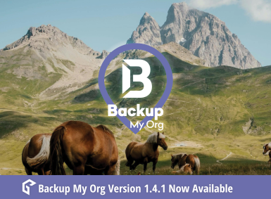
Backup My Org 1.4.1 Now Available
Backup My Org version 1.4.1 builds on its ArcGIS backup and restore capabilities with a suite of powerful new features! Backup My Org has expanded its coverage with support for Hub Sites, Hub Site Applications, and QuickCapture projects. To help with migrating content, Backup My Org now has a one-click restore planning document generator. Under […]
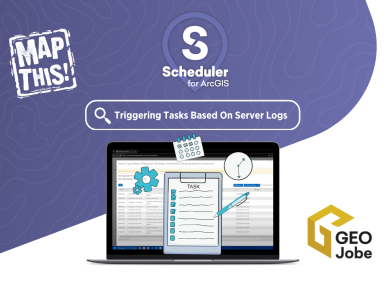
Turning Server Logs into Insights: Proactive ArcGIS Management
Are you looking for a way to get ahead of potential issues within your ArcGIS system? GEO Jobe’s Scheduler for ArcGIS offers a powerful combination with its supplementary tool, Scheduler Satellite, to provide in-depth insights from your server logs and enable proactive management. In our latest video, we explore how Scheduler Satellite acts as a […]

Avolve, GEO Jobe Announce Integrated Electronic Plan Review Software with Esri GIS Technology
Partnering with Esri’s Platinum Partner GEO Jobe to Apply Powerful GIS Technology to Avolve’s Solutions Enables State and Local Government to Transform Construction Plan Review Processes PHOENIX, Arizona, April 29, 2025 – Avolve, a leading provider of electronic plan review software, today announce the first electronic plan review platform that is integrated with Esri’s advanced […]