Like many of you, 2018 has started off with us planning for our annual trip to Palm Springs for a busy week of learning and networking.
Author: GEO Jobe
From our GEOPowered Cloud to custom solutions, GEO Jobe is committed to showing clients how geospatial thinking can guide them to save time, money, and make better business decisions. The power of GIS, Simplified!

News – GEO Jobe Names David Hansen as Chief Operating Officer (COO)
We are pleased to announce that our long time, VP of Software Development, David Hansen, has been promoted to the position of Chief Operating Officer (COO) at GEO Jobe.
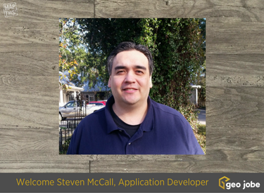
News: GEO Jobe Welcomes Steven McCall to the Team as Application Developer
We are pleased to be kicking off 2018 with another great hire! Most recently, we’ve recruited Steven McCall to our Dev team to fill the role as Application Developer. Steven is our first hire of 2018 as we kick off what we expect to be a very busy year with continued, sustained growth. We anticipate […]
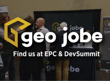
Reasons to Connect with GEO Jobe at the ESRI Partner Conference #EsriEPC & DevSummit
Indeed it’s still 2017, however, we’re already looking ahead to 2018 and all the Geo awesomeness that awaits us in the new year! One of the highlights of the year for our team is always the annual Esri Partner Conference (EPC) and the DevSummit. EPC is our chance to hear from the Esri product leads […]
Google – Contact GEO Jobe UAV Services
GEO Jobe has been using UAV technology over the last several years to collect, analyze, and disseminate geospatial data for clients in diverse industries from large utilities, and local governments, to airports and universities. Clients have found this latest and rapidly changing IoT technology is a cost-effective and efficient way for them to keep their […]

Industry Outlook Video – David Hansen Discusses the ArcGIS Platform, Machine Learning, Drones & the GEO Jobe Road Map
GEO Jobe’s VP of Product Development, David Hansen, sat down earlier this year at DevSummit to discuss the GEO Jobe roadmap, the ArcGIS Ecosystem at 10.5 onward, industry trends, and growth potential in the traditional GIS and mapping industry.

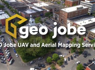
News – GEO Jobe UAV Recognized by Pix4D for 3D Drone Mapping for Smart Cities
Our latest news/PR shares details of our UAV and Aerial Mapping Services group being recognized by industry leader, Pix4D, for “Smart City” mapping and the creation of a 3D model for the City of Lewisburg, Tennessee.
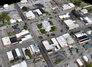
GEO Jobe UAV Services Recognized by Pix4D – Lewisburg, Tennessee Drone-Mapping for Smart Cities
GEO Jobe UAV Services group has been extremely busy this fall flying season, and there’s no sign of slowing down any time soon – although a break over the coming holiday season is going to be very welcomed! Recently, a UAV project conducted by our team was selected as a weekly Monday “3D” spotlight feature […]
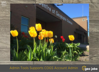
Case study – Admin Tools for ArcGIS Online Supports Managing Student Accounts at Center of Geographic Science (COGS)
The GIS / Geotech EDU user community, in particular, higher learning, has been very active with Admin Tools for ArcGIS Online since the launch in 2015. In fact, the Geo EDU community is likely our most passionate and appreciative user base.
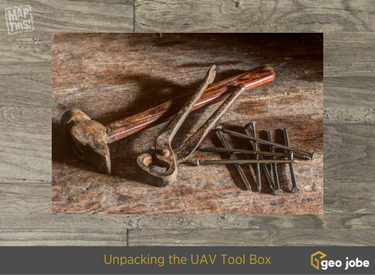
Drone Tips – GEO Jobe UAV Services Unpacking the UAV Tool Box
Unpacking the UAV tool box… You have to be prepared for anything when you head to the field to fly. In this video our UAV pilot, Jeff, walks us through a quick tour of the tool box that goes with the crew into the field when they are flying a UAV mission. This is just […]